ElevationSurfaceLayer Class
In This Topic
Represents an elevation surface layer in the map or scene.
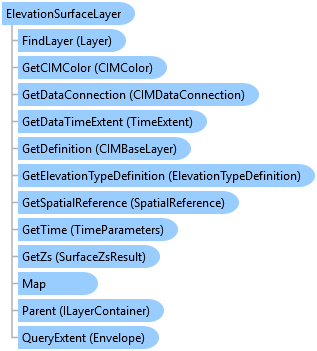
Object Model
Syntax
Public NotInheritable Class ElevationSurfaceLayer
   Inherits CompositeLayer
   Implements ArcGIS.Desktop.Core.IMetadataInfo, ILayerContainer, ILayerContainerEdit, IMetadataSource, System.ComponentModel.INotifyPropertyChanged
public sealed class ElevationSurfaceLayer : CompositeLayer, ArcGIS.Desktop.Core.IMetadataInfo, ILayerContainer, ILayerContainerEdit, IMetadataSource, System.ComponentModel.INotifyPropertyChanged
Example
Create a New Elevation Surface
{
    //Define a ServiceConnection to use for the new Elevation surface
    var serverConnection = new CIMInternetServerConnection
    {
        Anonymous = true,
        HideUserProperty = true,
        URL = "https://elevation.arcgis.com/arcgis/services"
    };
    CIMAGSServiceConnection serviceConnection = new CIMAGSServiceConnection
    {
        ObjectName = "WorldElevation/Terrain",
        ObjectType = "ImageServer",
        URL = "https://elevation.arcgis.com/arcgis/services/WorldElevation/Terrain/ImageServer",
        ServerConnection = serverConnection
    };
    //Defines a new elevation source set to the CIMAGSServiceConnection defined above
    //Get the elevation surfaces defined in the map
    var listOfElevationSurfaces = map.GetElevationSurfaceLayers();
    //Add the new elevation surface
    var elevationLyrCreationParams = new ElevationLayerCreationParams(serviceConnection);
    //Note: needs to be called on the MCT
    var elevationSurface = LayerFactory.Instance.CreateLayer<ElevationSurfaceLayer>(
        elevationLyrCreationParams, map);
}
Get the elevation surface layers and elevation source layers from a map
{
    // retrieve the elevation surface layers in the map including the Ground
    var surfaceLayers = map.GetElevationSurfaceLayers();

    // retrieve the single ground elevation surface layer in the map
    var groundSurfaceLayer = map.GetGroundElevationSurfaceLayer();

    // determine the number of elevation sources in the ground elevation surface layer
    int numberGroundSources = groundSurfaceLayer.Layers.Count;
    // get the first elevation source layer from the ground elevation surface layer
    var groundSourceLayer = groundSurfaceLayer.Layers.FirstOrDefault();
}
Find an elevation surface layer
{
    // retrieve the elevation surface layers in the map
    var surfaceLayers = map.GetElevationSurfaceLayers();
    // find a specific elevation surface layer by its URI
    var surfaceLayer = surfaceLayers.FirstOrDefault(l => l.Name == "Surface2");
    // or use the FindElevationSurfaceLayer method, passing the layer URI
    surfaceLayer = map.FindElevationSurfaceLayer("layerUri");
}
Inheritance Hierarchy
System.Object
ArcGIS.Desktop.Framework.Contracts.PropertyChangedBase
ArcGIS.Desktop.Mapping.MapMember
ArcGIS.Desktop.Mapping.Layer
ArcGIS.Desktop.Mapping.CompositeLayer
ArcGIS.Desktop.Mapping.ElevationSurfaceLayer
Requirements
Target Platforms: Windows 11 Home, Pro, Enterprise (64 bit)
ArcGIS Pro version: 3.0 or higher.
See Also