Methods for calibrating routes with physical gaps
 Available with the Linear Referencing license.
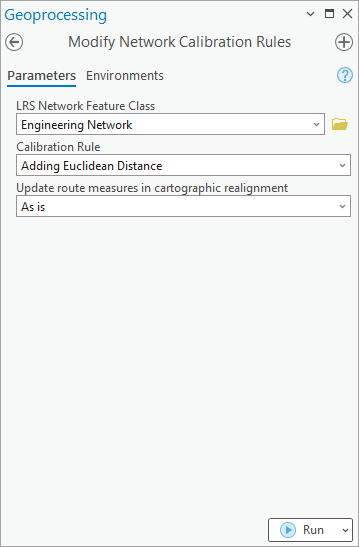
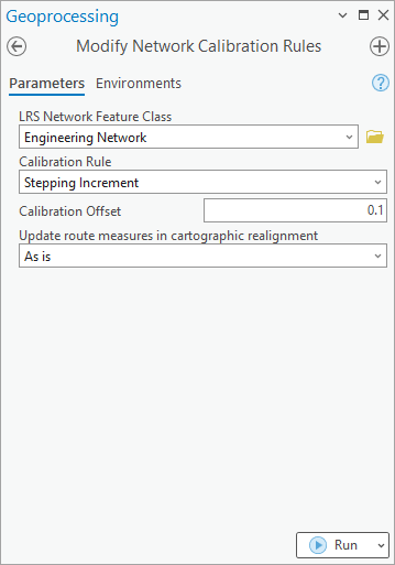
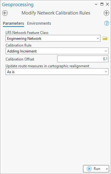
After creating an LRS Network, you can choose how gapped routes are calibrated while creating or editing routes using the route editing tools in ArcGIS Linear Referencing. Use the Modify Network Calibration Rules tool to configure calibration rules for an LRS Network.
Three methods for calibrating the gapped routes in the LRS Network are supported:
Stepping Increment
Adding Increment
Euclidean Distance
Each method produces a different calibration value when you create or edit a route with physical gaps.
The following table compares the calibration values when you create a route with physical gaps:
| Create route | Example calibration | Description |
|---|---|---|
| Stepping Increment of 0.1 |  |
A measure value of 0.1 is added to the first measure after each physical gap. |
| Adding Increment of 0.1 |  |
A measure value of 0.1 is added to each measure after each physical gap. |
| Euclidean Distance |  |
A measure value equal to the straight-line distance of the physical gap is added to the first measure after each physical gap. |

The following table compares the calibration values when you retire a route between measures 0.5 and 1:
| Retire route | Example calibration | Description |
|---|---|---|
| Route before retirement creates a physical gap |  |
The retire portion of a route shown before a physical gap is created using the Retire Route tool. |
| Stepping Increment of 0.1 |  |
A measure value of 0.1 is added to the first measure after the physical gap. |
| Adding Increment of 0.1 |  |
A measure value of 0.1 is added to each measure after the physical gap introduced due to retirement. |
| Euclidean Distance |  |
A measure value equal to the straight-line distance of the physical gap is added to the first measure after the physical gap introduced due to retirement. |
Note:
The configured method applies only when you create or edit routes with physical gaps using the route editing tools in ArcGIS Linear Referencing. A cartographic realignment does not apply the calibration rules, and the rules do not affect existing gaps. The rules apply only when route editing introduces a new physical gap.
Stepping Increment—A stepping increment allows you to define a value that measures use to adjust, or step, at each physical gap in the route. This method adds the increment value to the measure at the end of the physical gap and is typically used to add a custom increment value to the route measures at the physical gaps or to avoid the same measure being on the route at two spatial locations because of physical gaps. The increment value you define must be numeric and can include decimals. However, if a route with no gap in calibration measures is required, set the increment value to 0.
Adding Increment—An adding increment allows you to define a value to be added to each measure of a route at each physical gap, in addition to the total length of the starting measure and ending measure values of the route. This method is typically used to add a custom increment value to the route measures at the physical gaps and to avoid losing mileage on a route. The increment value you define must be numeric and can include decimals. Defining an increment value of 0 produces a route with no gap in calibration measures at physical gaps.
Euclidean Distance—This option calculates and adds the Euclidean, or straight-line, distance at each physical gap along an edited route. The calculated Euclidean distance is also added to the total length of the segments that compose the route to produce the starting measure and ending measure values of the route.