Ground Control Points
Note:
ArcGIS Reality Web App is a beta feature at ArcGIS Enterprise 12.2. While in beta, this capability may not be feature complete and, as such, may have known performance or quality issues and will not be supported by Esri Technical Support.
Feedback on this feature can be provided through the Esri Early Adopter Community.
Ground control points (GCPs) help increase the accuracy of processed outputs by matching real-world locations (represented by each GCP) with the corresponding location on an image. In Reality Web App, GCPs are saved at the project level as a GCP set. One set can be used to georeference multiple missions within a project.
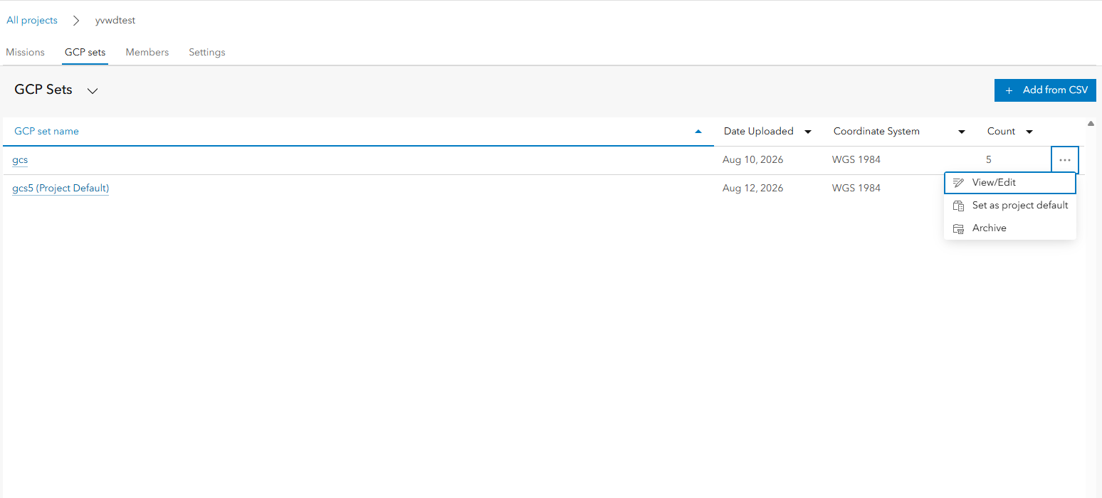
The GCP sets tab of the project page shows all GCPs that have been uploaded to the project. The GCP Sets table can be sorted by name, date uploaded, coordinate system and number of control points. You can view/edit any uploaded GCP set. GCP set that is not the project default can be archived or set as the project default.
Edit GCP
After creating a GCP set, you can modify the name and coordinate system as well as enable/disable points to use for adjustment. To edit a GCP, click the GCP set name or the View/edit option of the action menu ...