Project settings
Note:
ArcGIS Reality Web App is a beta feature at ArcGIS Enterprise 12.2. While in beta, this capability may not be feature complete and, as such, may have known performance or quality issues and will not be supported by Esri Technical Support.
Feedback on this feature can be provided through the Esri Early Adopter Community.
Each project has settings for the general project information, location and coordinate system preferences, and processing defaults. These settings are accessible through the Settings tab of the project page and can be modified at any time by a project administrator. Every time a mission is processed, it uses these settings as project defaults. Some settings can be further modified at the time of processing a mission.
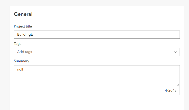
General
The general section includes settings to modify the Project title, Tags and Summary.
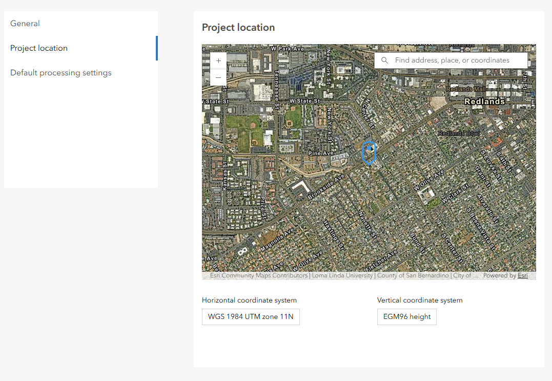
Project location
Project location and/or coordinate system can be modified at the Project location section.
Default processing settings
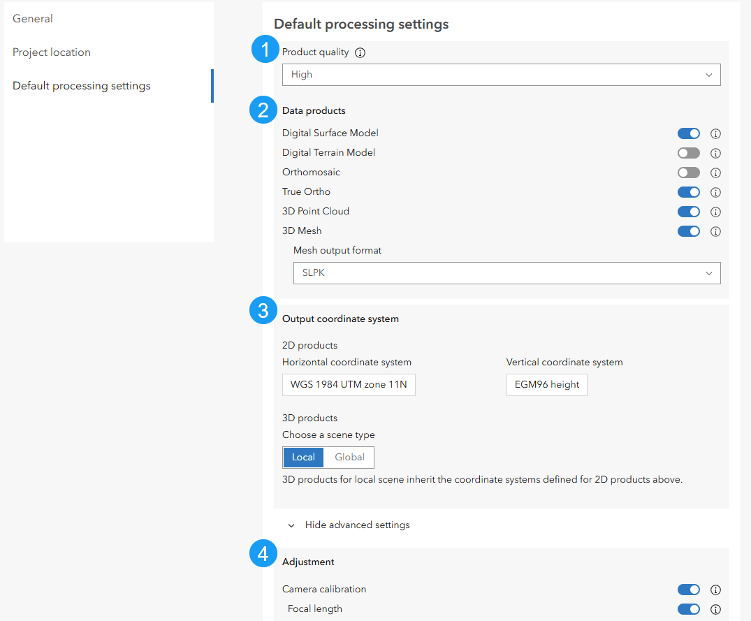
The default settings to use for processing missions can be modified in the Default processing settings section. This setting include:
Product Quality: Set the quality of all processed outputs. The default is High, which provides a balance of quality and processing time.
Data products: Select the products to be generated. DSM, True Ortho, 3D Point Cloud and 3D Mesh (SLPK) format are selected by defaults.
Output coordinate system: Set the coordinate system for the 2D and 3D products. The output coordinate system is by default, same as the project coordinate system but can be modified to desired as required. 3D products for local scene inherit the coordinate systems defined for 2D products.
Adjustment: Set the camera parameters to calibrate during block adjustment.