新西兰地图格网
描述
新西兰地图格网是一种专为新西兰大比例制图设计的等角地图投影。 该投影方法采用复数运算的柯西-黎曼方程,以东经 173 度、南纬 41 度为中心。
新西兰地图格网投影由 W. I. Reilly 于1973年设计。 该功能在 ArcGIS Pro 1.0 及更高版本以及 ArcGIS Desktop 8.1.0 及更高版本中可用。
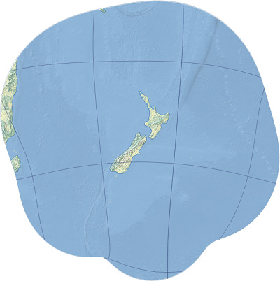
投影属性
以下小节描述了新西兰地图格网投影的属性。
经纬网
新西兰地图格网是一种改良的圆柱投影。 所有经线和纬线均投影为六阶复数代数多项式曲线。
畸变
新西兰地图格网是一种等角地图投影。 方向、角度和形状在无穷小尺度上保持不变。 在新西兰区域内,面积畸变小于 0.04%,比例与真实比例的偏差在 0.02% 以内。
用法
该投影仅限用于新西兰地区的超大比例地图。 不建议在其他地区使用此投影。
局限性
该投影仅限于地图中心周围的小片区域。
参数
新西兰地图格网的参数如下:
东偏移量
北偏移量
起始经度
起始纬度
源
Office of the Surveyor-General (1998). Conversion between Latitude and Longitude and New Zealand Map Grid. OSG Technical Report 4.1. Wellington: Office of the Surveyor-General Land Information New Zealand.
Reilly, W. I. (1973). "A conformal mapping projection with minimum scale error." Survey Review, 22 (168), p. 57-71. DOI: 10.1179/sre.1973.22.168.57
Stirling, I. F. (1973). New Zealand Map Grid. Department of Lands and Survey Technical Circular 1973/32. Wellington: Office of the Surveyor-General Land Information New Zealand.