Introduction to ArcGIS AllSource
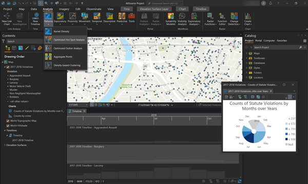
ArcGIS AllSource is a desktop application for intelligence analysis that allows you to visualize, explore, and analyze disparate data to produce actionable intelligence. Explore data from multiple sources and perform advanced analytics, such as spatial, temporal, statistical, predictive, and relational analysis. ArcGIS AllSource includes tools to directly connect to data. Data can come from relational databases, web services, spreadsheets, and unstructured documents. Visualize data in 2D or 3D maps, link charts, timelines, tables, and graphs. Ask complex questions about the data using a variety of analytical techniques to uncover patterns, trends, forecasts, correlations, and relationships.
Note:
ArcGIS AllSource help documentation references ArcGIS Pro documentation. While the ArcGIS Pro documentation may use different tool locations or ArcGIS Pro-specific license information than ArcGIS AllSource, the concepts and details and capabilities described are accurate and correct for both products and are expected to function the same way. Learn more about the ArcGIS AllSource help system.