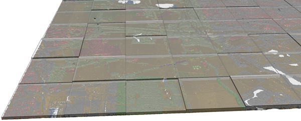
选中—Each output feature will represent a single class code in the input .las or .zlas file. This option will require a complete scan of the input files.
未选中—Each output feature will represent all the class codes in the .las or .zlas file. This is the default.
Boolean
改进 LAS 文件点间距评估
(可选)
指定是否使用 .las 文件中点间距的增强评估,从而减少由不规则数据分布导致的过高评估。
选中—A regular point spacing estimate will be used for .las files in which the extent is equally divided by the number of points. This is the default.
未选中—Binning will be used to obtain a more precise point spacing estimate for .las files. This option may increase tool run time.
SUMMARIZE—Each output feature will represent a single class code in the input .las or .zlas file. This option will require a complete scan of the input files.
NO_SUMMARIZE—Each output feature will represent all the class codes in the .las or .zlas file. This is the default.
Boolean
improve_las_point_spacing
(可选)
指定是否使用 .las 文件中点间距的增强评估,从而减少由不规则数据分布导致的过高评估。
LAS_SPACING—A regular point spacing estimate will be used for .las files in which the extent is equally divided by the number of points. This is the default.
NO_LAS_SPACING—Binning will be used to obtain a more precise point spacing estimate for .las files. This option may increase tool run time.
'''****************************************************************************
Name: PointFileInformation Example
Description: This script demonstrates how to use the
             PointFileInformation tool to create an output file that contains
             all LAS files under a parent folder.
****************************************************************************'''
# Import system modules
import arcpy

# Set environment settings
arcpy.env.workspace = "C:/data"
lidarList = arcpy.ListFiles("*.las")
if lidarList:
    # Set Local Variables
    outputFC = "Test.gdb/output_las_info"
    prj = "Coordinate Systems/Geographic Coordinate Systems/World/WGS 1984.prj"
    extrudeGeom = True # Indicates whether to create extruded geometry shapes
    sumClass = True # Indicates whether to summarize output by class code
    decSep = "DECIMAL_POINT" # Identifies the decimal separator

    # Run PointFileInformation
    arcpy.ddd.PointFileInformation(lidarList, outputFC, "LAS", "las", prj,
                                "", extrudeGeom, decSep, sumClass)
    print("Finished running Point File Information.")
else:
    print("There are no LAS files in {0}.".format(arcpy.env.workspace))